5.0 z 5 hvězdiček
měkká vazbaKniha ( pevná vazba )
- Produkt je nedostupný.
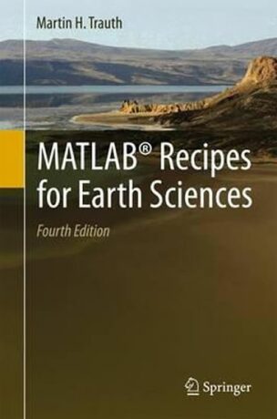
MATLAB (R) is used for a wide range of applications in geosciences, such as image processing in remote sensing, the generation and processing of digital elevation models and the analysis of time series. This book introduces methods of data analysis in geosciences using MATLAB, such as basic statistics for univariate, bivariate and multivariate… Přejít na celý popis
 Vyberte si z našeho výběru knih, audioknih, ale i CD všech možných žánrů včetně thrillerů nebo třeba dětské literatury.
Více informací
K tomuto produktu zákazníci kupují
-
 Life on Earth
-
 English for Everyone English Grammar Guide: French language edition
-
 The First 90 Days, Updated and Expanded
-
 21 Lessons for the 21st Century
-
 Hike: Adventures on Foot
-
 English for Everyone Practice Book Level 1 Beginner: French language edition
-
 The Art and Soul of Dune
-
 Everyone You Hate is Going to Die
-
 Heavy Weather Sailing 8th edition
-
 Guinness World Records 2020 (anglicky)
-
 The Landscape for Raising and Training Ceremonial Carriage Horses in Kladruby nad Labem
-
 The Universe In A Nutshell
-
 NOVINKA
Elements of Style, The
-
 Official Fourth Wing Journal: Violent Little Thing Edition with Lined Pages
-
 Our Iceberg is Melting
-
 Encyclopaedia Eorzea: The World of Final Fantasy XIV Volume II
-
 Russian Criminal Tattoo Encyclopaedia. Volume III
-
 NOVINKA
How Languages are Learned
-
 Not the End of the World
-
 Guinness World Records 2025
-
 Marvel Year By Year A Visual History New Edition
0.0 z 5 hvězdiček
pevná vazba -
 The Diary of a Young Girl
-
 VAT Frauds (Carousel Frauds)
-
 Sketch Like No One is Watching: A beginner´s guide to conquering the blank page
MATLAB (R) is used for a wide range of applications in geosciences, such as image processing in remote sensing, the generation and processing of digital elevation models and the analysis of time series. This book introduces methods of data analysis in geosciences using MATLAB, such as basic statistics for univariate, bivariate and multivariate datasets, time-series analysis, signal processing, the analysis of spatial and directional data and image analysis. The revised and updated Fourth Edition includes sixteen new sections and most chapters have greatly been expanded so that they now include a step by step discussion of all methods before demonstrating the methods with MATLAB functions. New sections include: Array Manipulation; Control Flow; Creating Graphical User Interfaces; Hypothesis Testing; Kolmogorov-Smirnov Test; Mann-Whitney Test; Ansari-Bradley Test; Detecting Abrupt Transitions in Time Series; Exporting 3D Graphics to Create Interactive Documents; Importing, Processing and Exporting LANDSAT Images; Importing and Georeferencing TERRA ASTER Images; Processing and Exporting EO-1 Hyperion Images; Image Enhancement; Correction and Rectification; Shape-Based Object Detection in Images; Discriminant Analysis; and Multiple Linear Regression. The text includes numerous examples demonstrating how MATLAB can be used on data sets from earth sciences. The book's supplementary electronic material (available online through Springer Link) includes recipes that include all the MATLAB commands featured in the book and the example data.
- Nakladatel
- Springer Media
- Rozměr
- 164 x 242 x 26
- jazyk
- angličtina
- Počet stran
- 428
- Vydání
- 1
- isbn
- 978-3-662-46243-0
- Vazba
- pevná vazba
- datum vydání
- 13.04.2015
- ean
- 9783662462430
Hodnocení a recenze čtenářů Nápověda
0.0 z 5 0 hodnocení čtenářů
0× 5 hvězdiček 0× 4 hvězdičky 0× 3 hvězdičky 0× 2 hvězdičky 0× 1 hvezdička
Přidejte své hodnocení knihy
Vývoj ceny Nápověda
Získejte přehled o vývoji ceny za posledních 60 dní.
Články, které stojí za pozornost
-

-

-

-

-

-

-

-

-

-

-

-


